Local Bike Trails
-
Local Bike Trails
Discover the Best Bike Trails Near De Anza Inn in Monterey
Monterey County offers unforgettable cycling routes for all skill levels, from scenic coastal trails to rugged mountain paths. Explore beginner-friendly options like the Fisherman’s Wharf to Lovers Point route on the Monterey Bay Coastal Trail, or take on the famous 17-Mile Drive. Fort Ord National Monument’s trails provide more advanced loops, and Big Sur’s Highway 1 is a thrilling route for experienced cyclists. Conveniently located near De Anza Inn, these top bike trails let you enjoy Monterey’s beauty on two wheels. The following information is taken from the See Monterey website, so grab your bike or rent one in town and get moving!
TOP 10 BIKE RIDES
1. Fisherman’s Wharf to Lovers Point – Beginner Level
Soak in the best sights of Monterey’s coastline with a simple ride along the bike path that runs from Fisherman’s Wharf out to Lovers Point. The bike path, officially known as the Monterey Bay Coastal Recreation Trail, extends from Castroville in the north to Pacific Grove in the south, but the stretch between Fisherman’s Wharf and Lovers Point is hands-down the most popular section. The path is separated from street traffic, providing a safe environment for children still learning to balance on two wheels and nervous adults returning to cycling after a long time away. The ride provides fantastic views of Monterey Bay and plenty of great places to stop as it winds past the Coast Guard Pier, Cannery Row, the Monterey Bay Aquarium and the harbor seal beach at Hopkins Marine Station.
Starting point for this trail is 2.5 miles from De Anza Inn
2. Fort Ord National Monument North Single-Track Loop – Intermediate Level
Another favorite trail in the Fort Ord National Monument is the north single-track loop. Park at the Creekside Terrace parking area just off Reservation Road. Take Trail 31 to Trail 02 to Oil Well Road. The thigh-punishing Oil Well Road will take you uphill several miles to the aptly named Skyline Road, where you will turn right. You will see Trail 44 on the right after a half mile. Ride Trail 44 to Trail 41 back to Oil Well Road; turn left on Oil Well Road, right on Station One Road and take Trail 01 back to your car.
Starting point for this trail is 14.9 miles from De Anza Inn
3. Parker Flats Loop, Fort Ord National Monument – Beginner Level
Once an Army base, the Fort Ord National Monumenthas several paved roads that are a perfect spot for children and adults seeking a more challenging ride than the Monterey Bay Coastal Recreation Trail. A good beginning ride is the 5-mile Parker Flats loop, which has just enough short climbs to add a little challenge. Park at 8th and Gigling, the last spot where cars are allowed. Then bike on 8th Avenue south to Parker Flats Road and take Parker Flats southeast to Eucalyptus. Turn right on Eucaluptus where you’ll have a short but strenuous climb. Take Eucalyptus to the next segment of Parker Flats, which runs between Welch Ridge and Artillery Hill. Turn right on Normandy, then left on Eighth to complete the loop and return to the parking lot.
Starting point for this trail is 14.9 miles from De Anza Inn
4. Cachagua Loop – Advanced Level
For valley and vineyard views, take the 30-mile loop from Carmel Valley Village through Cachagua. Start in Carmel Valley at the village, ride east on Carmel Valley Road and turn onto Cachagua. It’s about a two-mile climb, and then it drops down into the main parts of Cachagua where you will enjoy gorgeous views of the area’s finest vineyards. Continue on Cachagua to Tassajara and take a left onto Carmel Valley Road to get back to your starting point. Please note this is an advanced route and riders should be aware of road conditions.
Starting point for this trail is 16.1 miles from De Anza Inn
5. 17-Mile Drive – Beginner to Intermediate Level
Pebble Beach‘s scenic 17- Mile Drive provides amazing photo ops of The Lone Cypress Tree, Spanish Bay and the Del Monte Forest. This iconic stretch of road is also easy to navigate. Keep the water on your right on the way out and keep it on the left as you come back, and you won’t get lost. The traditional route begins at the Monterey Bay Coastal Recreation Trail at Cannery Row. After a little over a mile, the trail ends and riders cycle through Pacific Grove on Ocean View Drive past scenic Point Pinos. Riders then continue on Sunset Drive past beautiful Asilomar State Beach, where they’ll catch their first views of Pebble Beach, to 17-Mile Drive. Riders follow 17-Mile Drive down to Point Joe and around to Seal Rock, which is a nice place to stop with restrooms and picnic tables. About a mile further is Cypress Point, which provides for a stunning vista. As you continue, the bike line turns into the main road where cyclists must use caution when riding with cars. The round-trip from Cannery Row is 18 miles to Cypress Point and back, and 24 miles to the Lodge at Pebble Beach and back.
Starting point for this trail is 2.7 miles from De Anza Inn
6. Monterey to Marina on the Monterey Bay Coastal Recreation Trail – Beginner to Intermediate Level
For a different perspective on the Monterey coastline, take the Monterey Bay Coastal Recreation Trail north to Seaside and Marina. Riders can choose to tackle the steep hill up the sand dunes at the Monterey/Seaside border, with its reward of a sweeping view of Monterey Bay all the way to Santa Cruz, or opt for the flat cutoff that winds around Laguna Del Rey. Both trails meet again at the Seaside parking lot for Monterey State Beach, and continue along the dunes and bluffs for miles. Once riders pass Sand City, they’ll reach four miles of open, cypress and sand-dune-lined trail up to Marina, with only other cyclists and pedestrians and the occasional gull or hawk for company.
From Monterey, just take the Rec Trail north to enjoy this ride. Keep the water on your left to head toward Marina, and on your right to head back to Monterey.
Starting point for this trail is 2.5 miles from De Anza Inn
7. Hennekens Ranch Loop, Fort Ord National Monument – Intermediate Level
Explore a portion of the massive 14,000 acres of the Fort Ord National Monument with the Hennekens Ranch Loop. This eight-mile ride is packed with thigh-burning climbs and sweeping views of the Salinas Valley. From the parking lot at Eighth and Gigling, take Eighth south to Normandy and turn right. Take a sharp left onto Parker Flats and follow east onto Eucalyptus Road for two and a half miles of tough climbs interspersed with downhill glides. You’ll pass mossy oak trees and may catch glimpses of deer or other wildlife. Turn left onto Hennekens Ranch, where you will climb for well over half a mile. Take a breather at the top to admire the sweeping views, then enjoy the long, fast coast down the hill – you’ve earned it! Turn left at the bottom of the hill on Gigling, where you’ll ride over low, rolling hills for the last mile and a half back to the parking lot.
Starting point for this trail is 6.6 miles from De Anza Inn
8. Ollason Trail, Toro Park – Intermediate-Expert Level
For sweeping ocean views of the Monterey Bay take the Ollason Trail in Salinas’ Toro Park. Here you can climb all the way up to Ollason Peak, which is 1800 feet above sea level. Considering that the entrance is about 200 feet above sea level, it’s a climb of about a mile. Cyclists begin this arduous, but rewarding, 9-mile loop right at the park entrance. The ride has semi-hardpacked dirt roads, with some soft dirt and sandy patches. Throughout the climb, riders will encounter roller-coaster hills. From the park entrance to the Environmental Center, hikers and cyclists are on parallel paths; once past the Environmental Center, the two share a trail. Looking for an even tougher challenge? Continue on the trail past Ollason Peak to Simas Peak, 2,129 feet above sea level with sweeping views of the Salinas Valley and Monterey Bay.
Starting point for this trail is 12.8 miles from De Anza Inn
9. Monterey Loop, Salinas Valley/Carmel Valley – Intermediate to Expert Level
One of the most popular long routes for local cyclists is the Monterey loop through Salinas and Carmel Valleys. The scenic route, roughly 100 miles, starts at River Road in the Salinas area where you will pass by 40 or 50 miles of prime Salinas Valley farmland. Riders then turn west on Arroyo Seco Road and follow it to Carmel Valley Road. As you go through Arroyo Seco and Carmel Valley you will see an array of vineyards and cattle ranches. From there, riders can either head straight into Carmel or come over the Laureles Grade back to where you started. This route is so popular, in fact, that it’s been selected as the Gran Fondo Long Ride for the Sea Otter Classic. See the Sea Otter Classic website for more information and to register.
Starting point for this trail is 25.6 miles from De Anza Inn
10. Highway 1 through Big Sur – Expert Level
Experienced riders can choose the steep and treacherous ride down to Bixby Bridge and Big Sur from Carmel. Hundreds of riders each year cycle the steepest portions of Highway 1, which is both a State Scenic Highway and an All-American Road. It’s been named one of the top road trips in America, and the breathtaking vistas are even better from a bicycle. Much like the Monterey Bay Coastal Recreation Trail and 17-Mile Drive, navigating this ride is easy – just keep the ocean on your right if you’re heading south to Big Sur or Hearst Castle, and keep it on your left if you’re heading north to Monterey. For the expert cyclist, Highway 1 through Big Sur may be the best ride you will ever take.
Starting point for this trail is 5.4 miles from De Anza Inn
For more information on bicycling in Monterey County, visit Bicycling Monterey.com.
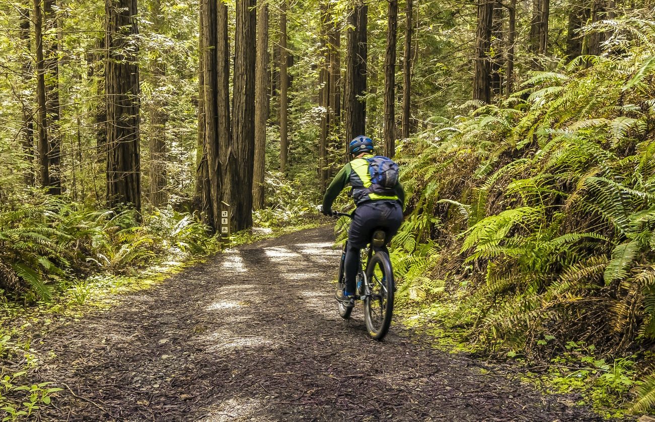
LOCAL BIKE TRAILS
No matter where you travel in Monterey County, whether you are on the roads or on an off-the-beaten-path trail, bicyclists will be there.
MONTEREY EXCURSIONS
Explore tourist attractions and things to do in Monterey.
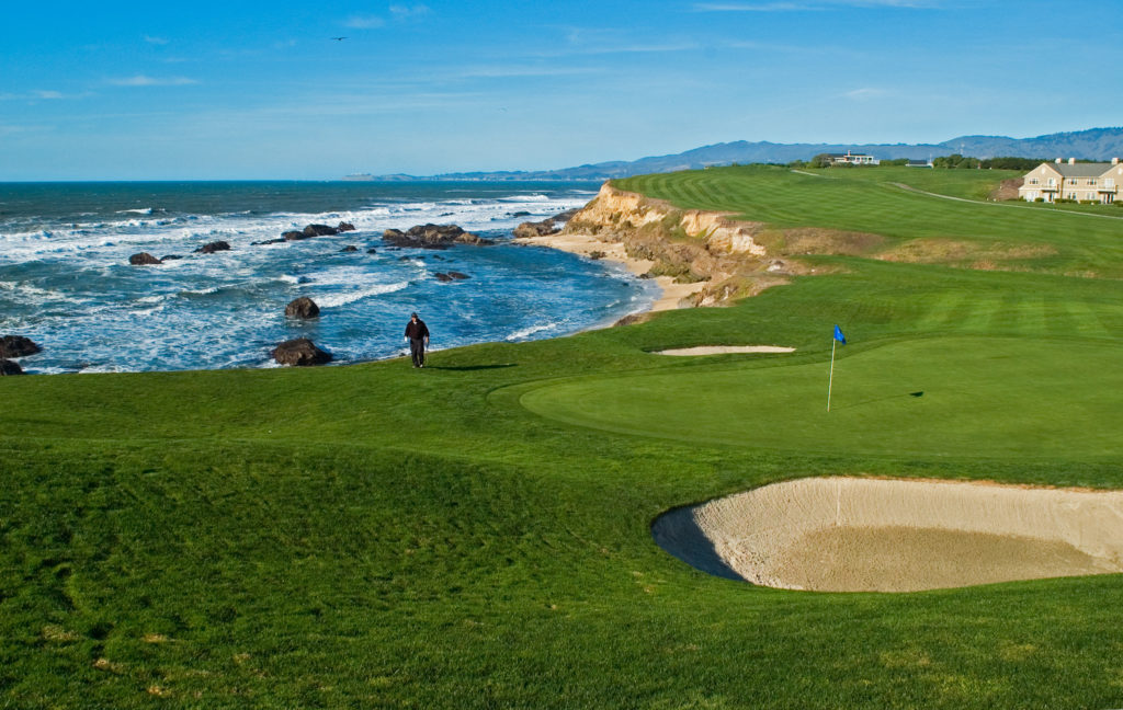
GOLF IN MONTEREY
The breathtaking Monterey Peninsula is a world-renowned golf destination with more world-class golf courses in one place than any other area in the world.
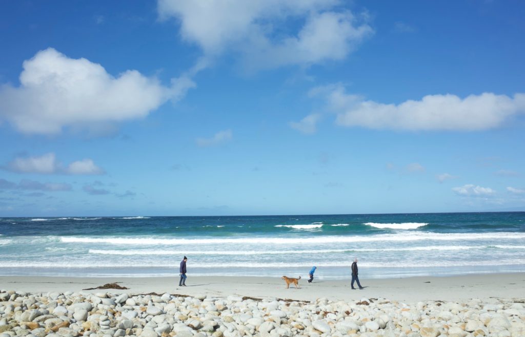
MONTEREY BEACHES
Monterey has a number of local beaches close to De Anza Inn.